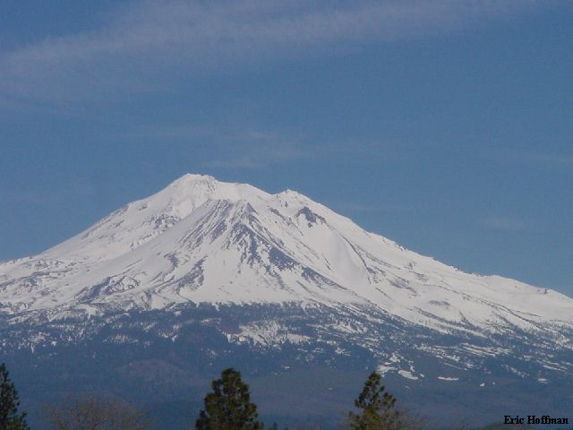
Mount Shasta From Weed Airport
With yet another wet and wild weekend forecast for Washington, Andy Johnson and I headed south in search of the sun. We found the sun after crossing Grant's Pass in southern Oregon, however, the weather would still turn out to be wilder than we had bargained for. We continued south through Medford, where we got a look at the southern most volcano in Oregon, Mount Mcloughlin (9495'), but we had something else in mind.
|
Mount Shasta From Weed Airport |
|
|
We arrived in the town of Mount Shasta around 4:00pm on Friday and stopped at the local gear shop, The Fifth Season. False information had led us to believe that we could get our permits there. We headed for the Ranger station 3 blocks away where were acquired the necessary permits to enter the wilderness and climb above 10,000'. Our plan was to climb a variation of Sargents Ridge or Avalanche Gulch, the dog route (these routes meet up at Thumb Rock, 12, 923). We headed up to the trailhead to get a look at the routes (The Everett Memorial Highway leads to the Bunny Flats Trailhead (6950'). We never really came to a decision on just which route we would take to the summit, but we definitely agreed that the best descent would be Avalanche Gulch on skis.
We headed back to town for a meal then settled in for a night of car camping at c.5900'. We awoke at 2:00am and arrived at the trailhead where there were many people sleeping on the side of the road. This is a 24 hour trailhead, I personally recommend trying to get you Zs somewhere a bit quieter.
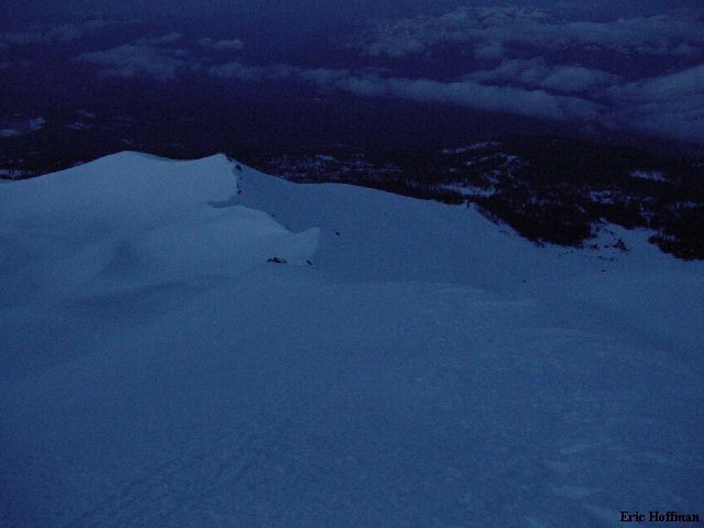
We departed the trailhead at 3:00AM and headed up the ridge west of Bunny Flats (I believe this ridge is known as "Broadway"). The ridge was easy and broad until reaching the 9365' point NW of Green Butte (9193'). The snow was great for climbing, well frozen corn. At the 9365' point, the route turned north to follow a sometimes exposed ridge. Ultimately this ridge joins the Sargents Ridge Route near 12,000'. The winds were becoming a problem as we traversed the ridge crest. Wind gusts from the NW were pushing us around making it a bit unnerving. The wind was only beginning to be a problem. We continued up the ridge hoping to find an escape route, at about 11,400 feet we reached our escape. From here we watched a line of climbers retreating down the gulch to camp at Lake Helene..
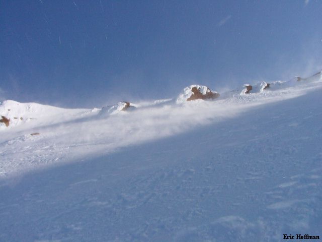
|
Green Butte and the Ridge we Climbed to c.11,400' |
|
|
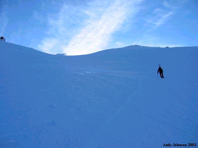
We began traversing north toward Avalanche Gulch on windswept, 35 degree slopes. The sun rose as we traversed the slope but it offered no relief from the gusts of wind blowing snow and ice across the slope. Somewhere on the traverse I took a direct hit to my right eye. My vision was blurred for several hours and a bright red dot was visible on the white of my eye when we returned to the trailhead. We gained a bit of elevation on the traverse, reaching the gulch at roughly 11,800'. Andy was beginning to wonder if he really had the desire to continue to the summit under these conditions. He continued up.
|
Me continuing toward Thumb Rock |
|
|
We had hoped to ski the entire route but it was looking like the weather was not going to make that a very attractive option, but I still wanted to reach the summit. I continued up leaving my skis near 12,500' where the burden of carrying skis in the wind became too much.
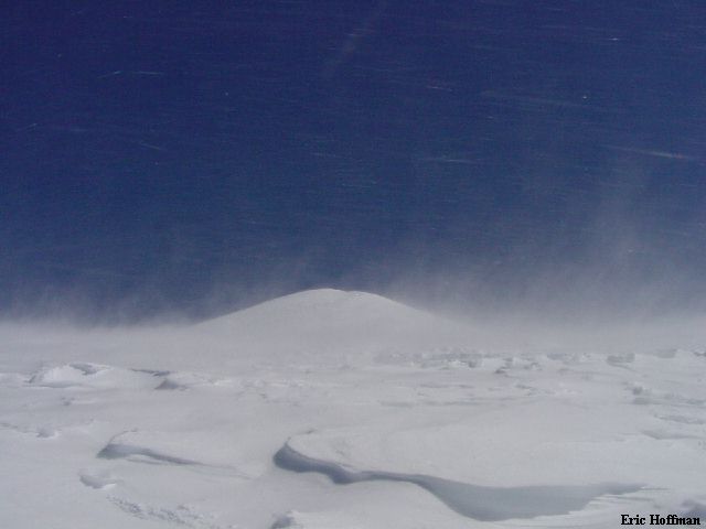
|
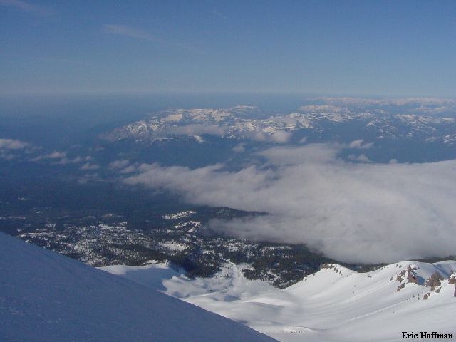
The View from c.12,500 in Avalanche
Gulch |
|
|
|
Still Chasing the sun, Thumb Rock (12,923') from Avalanche Gulch |
|
|
|
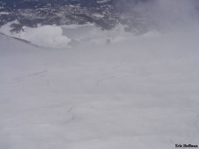
Red Banks from Avalanche Gulch |
|
|
Andy topped out somewhere around 12,500'. By this time I had reached the saddle between Thumb Rock and the Red Banks (c.12,900'). It was obvious that we had been sheltered from the wind to some degree below this point. I headed NW up Misery Hill, a hill that would live up to its name on this trip.
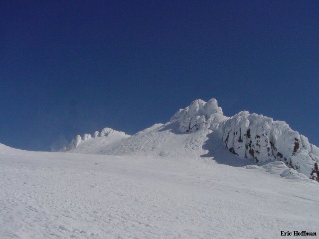
|
Misery Hill from the Red Banks/Thumb Rock Saddle |
|
|
|
Green Butte from the Saddle |
|
|
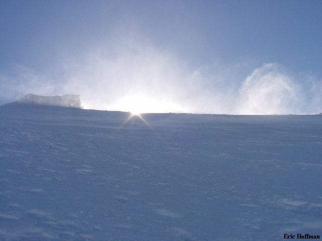
At the top of Misery Hill there is small saddle where I watched softball sized chunks of ice accelerating up a 30 degree slope and disappearing over the other side of the mountain. I continued toward the summit ,beginning up the snow slope toward the summit rocks. I could take no more of the wind and at this point wasn't sure I could keep from being blown off the summit if I did reach it. I began the descent from c.14,000' at 10:15AM.
|
The Summit of Mount Shasta |
|
|
I reached the minor saddle between Misery Hill and the summit area where I had to face in down climb a fifteen degree slope because I simply couldn't breath if I faced into the wind. I retreated down Misery Hill then back to my skis at 12,500' where I began the ski down...very carefully. I mostly made long traverses across the frozen corn surface. When I reached reasonable snow I would take advantage of it. Every 30 seconds it seemed like a gust of wind would push me across the slope or just knock me over. Eventually, I reached Lake Helene where the crowd of climbers gathered after retreating from the mountain earlier in the morning. The snow continued to be frozen to near 9000 feet. From there the skiing was great back to the trailhead. This is no doubt a great route to ski, providing the weather fully cooperates. Ten hours round trip. I can only guess what the wind speed was on this day but I have stuck my head out of a car window at 50 MPH and could still breath.
References:
Summit Guide to the Cascade Volcanoes; Jeff Smoot; Pages161-167
USGS; 7.5 Minute Series ; Mount Shasta, CA (1986) and McCloud, CA (1986)
Quadrangles