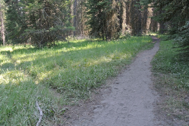
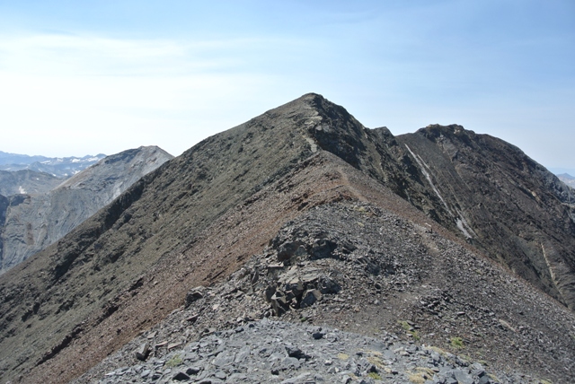
Sacajawea Peak from the Hurricane Creek Trail
In the rather remote NE corner of Oregon sits Sacajawea Peak, the highest non-volcanic peak in the Beaver State. At 9,838 Feet Sacajawea has a few other claims to fame including the highest peak in the Wallowa Mountains, the highest peak in Wallowa County, the 6th highest peak in Oregon and number 18 of 57 on the lower 48 “Ultra Prominent” list.
I found myself close, using the term loosely, to this remote area and figured I should give Sacajawea a try via the Hurricane/Thorp Creek route. One thing that remains a bit of a mystery about this route is the total distance involved. One source states it is 13 miles round trip but that seems short. Summitpost describes it at 7.5 miles to Thorp Creek Basin. I would give it another 1.5 to the summit for a total distance of 18 miles which seems long. Whatever the case expect a full day or plan to camp in the Thorp Creek Basin.
I started up the Hurricane Creek Trail at about 6:45AM with clear skies and temperatures in the low 30’s... burr, I wasn’t expecting that. Hiking up the Hurricane Creek trail with views of Sacajawea almost from the start I expected to find the Thorp Creek Trail at about 2 miles. By the time I was sure I had gone 2 miles I was also sure I had gone too far as the valley wall to the east was becoming too steep for any trail. I turned around and returned to what I thought was just a path down to the creek but it turned out to be the Thorp Creek Trail. Don't expect a sign.
|
Sacajawea Peak from the Hurricane Creek Trail |
|
|
|
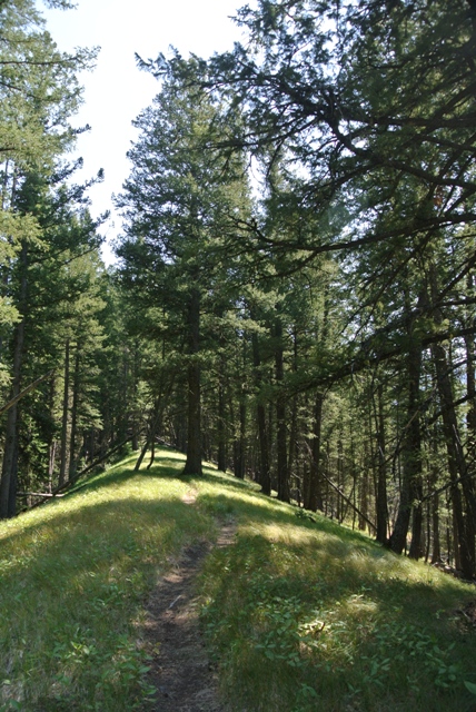
Junction of the Hurricane Creek and Thorp Creek Trails |
|
|
Following the trail about a hundred yards to Hurricane Creek I arrived at a log crossing. One of the trees had been cut with a saw so I was pretty sure I was on to something. Once across Hurricane Creek I located the trail on the other side and followed some glimmers of hope through a small meadow where I found the trail on the other side.
|
The Hurricane Creek crossing |
|
|
Beyond the meadow the trail became easy to follow. In a short distance the trail crosses Twin Creek then after a short section of windfall it gets to the point and goes up, up and up eventually reaching a steep open slope with a good view of the objective and a view down to a waterfall on Thorp Creek. Not far beyond the trail briefly follows a grassy ridge between Twin Creek and Thorp Creek before beginning a long traverse to the flat meadow and forest basin at the headwater of Thorp Creek. It is about 4 miles to the basin from the trail junction.
|
Easier going on a short grassy ridge |
|
|
|
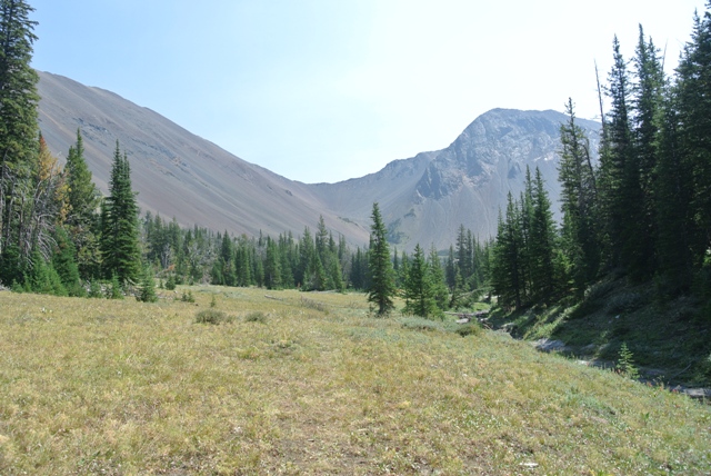
The meadows in Thorp Creek Basin |
|
|
Once in the basin the trail fades into the meadows. I followed the partially frozen Thorp Creek occasionally finding a bit of tread here and there. At the end of the basin Thorp Creek veers left and cascades down through a rocky area. At about the time you see this it is best to work your way up on the right side of the basin where there is a bit of a climbers path. The path becomes more defined as it works its way up and around the bottom of Sacajawea’s East Ridge where you get a view of what lays ahead.
|
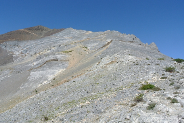
Looking up the last 1600 Feet of the route |
|
|
From the base of the ridge the path continues more or less all the way to the summit through scree and scree covered slabs. I wouldn’t call it exposed but there are a few spots where you wouldn’t want to lose your footing. I arrived at what I had hoped was the summit and found that it wasn’t. Fortunately, the true summit was not far away so there was little impact to my moral.
|
Finally, the summit is in sight |
|
|
I arrived on the true summit about 5 hours after leaving the trailhead. The summit offers great views of the Wallowa Mountains and down to the field in the Wallowa River valley. The return to the trailhead took about 4 hours.
|
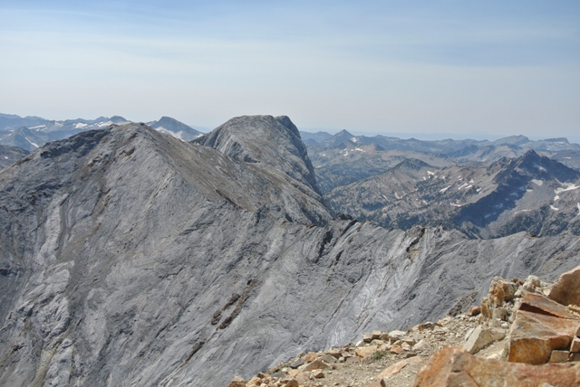
The Matterhorn from Sacajawea Peak |
|
|
References:
summitpost.com