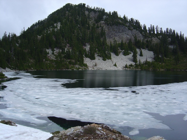
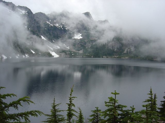
Rarely seen Snow Lake with Mount Roosevelt in the Background
If I had a dollar for every time I said I was going to go to Mount Roosevelt… Why I felt I needed go to Mount Roosevelt is still uncertain but when Andy Johnson called saying he needed to get out on a mostly cloudy weekend I just had to put Roosevelt on the table. Andy bit.
We arrived at the Snow Lake Trailhead at the Alpental Ski Area (c.3100’) a little after 8:00 AM and the trip was underway by 8:30. In c.2.5 miles we reached the Snow Lake divide (c.4400’) then descended to Snow Lake (4016'). After the long hike around Snow Lake we gained a bit of elevation and arrived at Gem Lake (c.4900’, 5.5 miles).
|
Rarely seen Snow Lake with Mount Roosevelt in the Background |
|
|
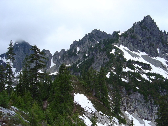
We crossed the outlet of Gem Lake and took a break, enjoying the breathtaking views of Wright Mountain towering above the lake. Heading SW up a path on a ridge leading toward Mount Roosevelt we reached a minor high point where we got an even better view of Wright Mountain...
|
Gem Lake and Beautiful Wright Mountain |
|
|
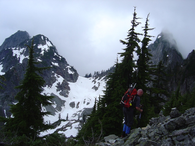
Continuing on the path we traversed a flat section of the ridge before it steepened. At c.5400 feet a cairn marked the spot where the path traverses below cliffs. There was a path that left the ridge lower which may provide an alternate route, but seems more likely to lead to Chair Peak Lake. After traversing a couple hundred yards below cliffs the terrain eased and we scrambled up a short rock step to a very small basin (the flat area Beckey describes). The clouds were thick when we arrived but parted shortly after to reveal the class 2 gully that leads to the final scramble to the summit.
|
The route up Mount Roosevelt (center) from above Gem Lake |
|
|
|
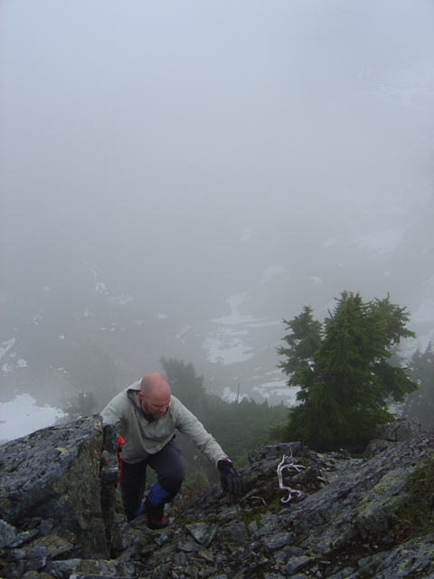
Andy at the beginning of the traverse with Chair and Kaleetan in the Background |
|
|
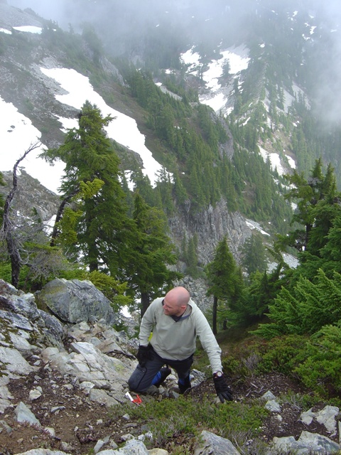
The gully, although partially snow filled, is mostly steep dirt and heather but is certainly not a place you would want to slip. At the top of the gully there is a short scramble to the summit (class 2 unless you manage to make it harder than it really needs to be like we did).
The views were limited by clouds but are probably good. This is a good route that should be doable under most conditions but probably most challenging when the gully is filled with snow. The trip took 7 hours total.
|
Andy at the top of the gully |
|
|
|
Andy scrambling to the summit |
|
|
References:
Cascade Alpine Guide, Volume 1, 2nd Edition; Fred Beckey; Page 152-153
75 Scrambles in Washington; Peggy Goldman; Pages 165-167