Mount Kent-Eric's Couloir Route
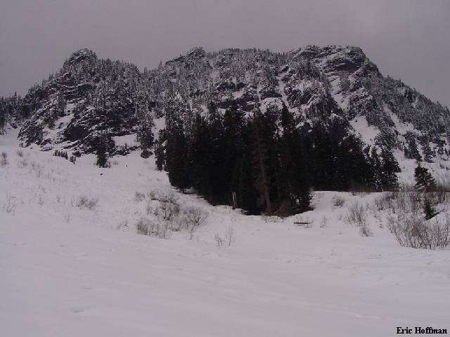
The North Face of Mount Kent
In the never ending search for something new in the local area, Mount Kent, with a steep rocky north face, caught my attention. Hmmm, surely people have climbed it before, but a search turned-up absolutely no information for routes to Mt. Kent's summit. It seems a bit odd that a mountain such as this has gone largely unnoticed given that it is located only a little over a mile from McClellan Butte which sees a large number of visitors. The route I took to the summit may or may not be the easiest. It appears (based on topo map) that it is probably easiest to take the Mclellan Butte trail to the ridge crest, traverse to Alice Lakes, then ascend to the summit, but this would be a much longer route, and has NOT be confirmed.
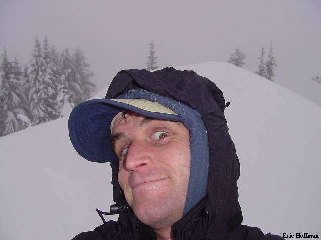
Self Portrait from the Summit Area
This route begins where the McClellan Butte trail crosses FSR 9020 (parking just beyond the trail crossing). Follow the road less than a quarter mile to the switchback at Alice Creek. This is where the fun begins. Negotiate slide alder, blackberry bushes and of course devil's club on the west side of Alice creek for about a half mile before reaching the base of Mount Kent. This unpleasant bushwhacking makes this a winter/spring route as any attempt to travel through this area once the snow has melted would be nothing short of torture. Once at the base, ascend and traverse around the east side of the mountain to the bottom of a fairly obvious couloir at c.3600 ft. (Eric's Couloir). Ascend Eric's Couloir keeping left at c.4000' were it splits. A very short rock step just above the split may force one to exit the couloir briefly, but basically the 35 to 50 degree couloir can be followed to the ridge crest (c.4900'). Once on the ridge crest, an easy traverse along the ridge leads to the summit.
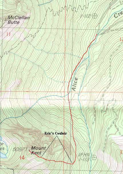
References: Uncle Sam's Guide Service (USGS) Bandera Quadrangle 7.5 minute series