The Defiance Ridge Route from Mt. Kent
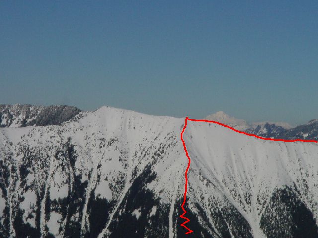
I first discovered the trail that makes this loop reasonable a few years ago while hiking an abandon logging road west of Mt. Defiance. The loop begins at the Mason Lake Trailhead. Follow the old road, now trail, to the switchback less than a quarter of a mile from the trailhead. The unnamed, non-maintained trail continues west from here, basically traversing the south slope of Mt. Defiance and eventually arriving at a minor rock outcrop overlooking I-90 called Dirty Harry's Balcony. At about one mile from the trailhead, yet another trail heads up the slope. It is easy to miss, the sign that was once there, which simply said "Ridge Top", has been gone for a few years. The builder of this trail, clearly had much excitement and energy in the beginning, creating a wide path with many switchbacks, but as the trail continues it becomes narrower and steeper before eventually becoming little more than a few shreds of flagging tape. However, the trail provides an easy route nearly to tree line (you may have to do some thrashing unless there is a good snowpack). For now, the trail is lost to snow well below the open slope above. The general idea is to go up until you break out of the trees (roughly 3600') on an open triangular shaped slope. The slope maintains a moderately steep angle until you reach the apex. From there a spur continues north, reaching Defiance Ridge at about 5200'.
|
The Defiance Ridge Route from Mt. Kent |
|
|
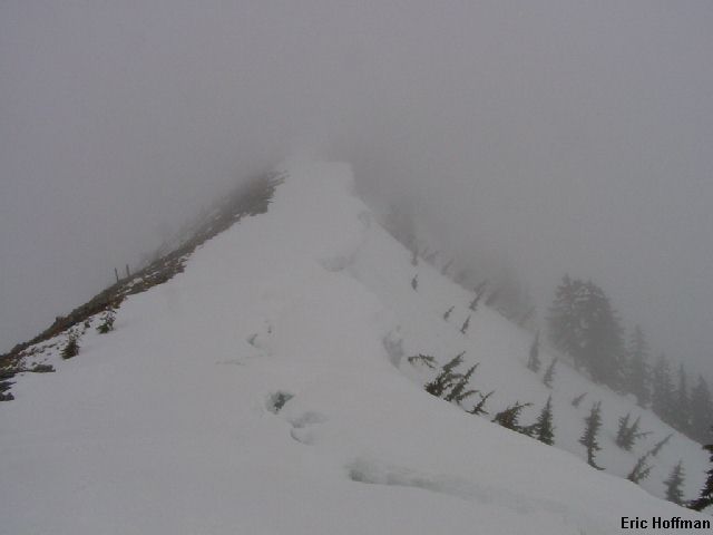
From the ridge crest (corniced), traverse east descending slightly. In winter or spring it is easiest to stay on the crest of the ridge all the way to the summit of Mt. Defiance, but in late spring through early winter it is easier to drop off the north side of the ridge when you get to the trees and pick up the Mt. Defiance Trail (FST 1009) to the north.
|
Somewhere on Defiance Ridge |
|
|
|
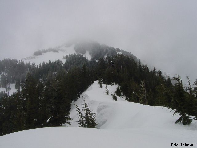
Mount Defiance from Defiance Ridge |
|
|
My plan was to ski SE from the summit and hopefully end up at Mason Lake. Unfortunately, the least treed sections of the slope lead you farther west than Mason Lake. I knew this from past trips in the area, but caved into the temptation to ski the more open slopes and ended up too far west to end up at the lake. I now resorted to survival skiing. Visibility had been poor since I left the top and I was now on steep forested slopes. I could hear the stream below me but couldn't see it. Eventually, I found my way down to a marshy area (about 3600', abundant Devils Club), and was able to pick up the lower trail descending from Mason Lake and follow it back to the trailhead. This trip does make a nice outing with few difficulties...if you use the Mount Defiance and Mason Lake Trails on the descent. I recommend doing the loop in this direction rather than reversing it.
|
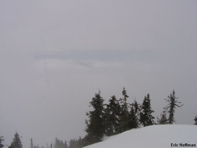
Mostly Sunny? |
|
|