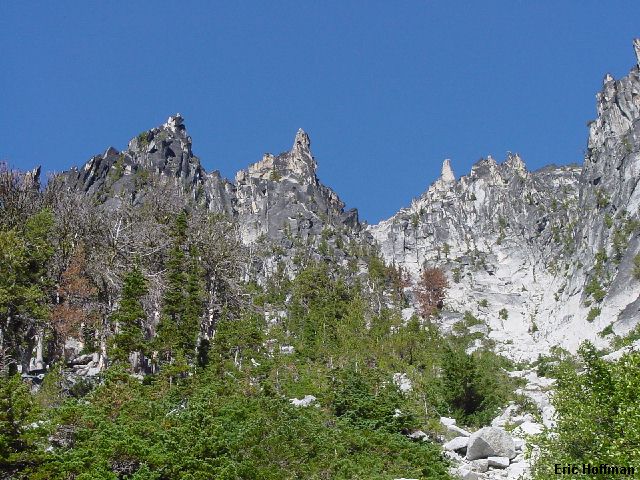
McClellan Peak from the Ingalls Creek Trail
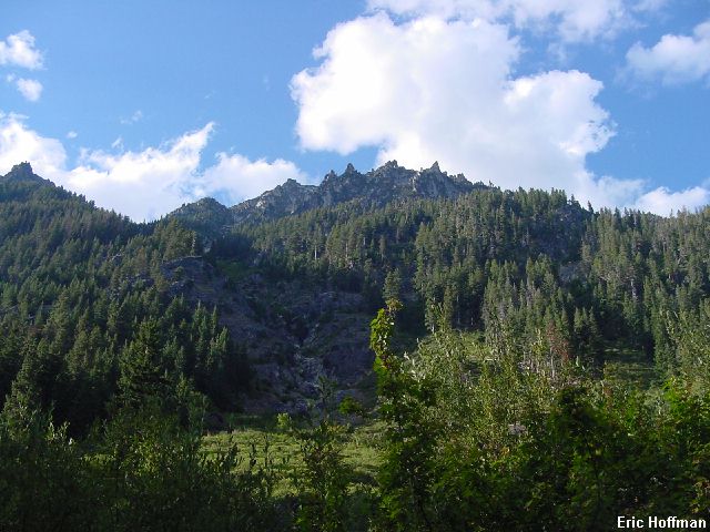
McClellan Peak was something I had intended to climb every time I went to the Enchantments. It is so easy to get distracted there and all but one of my trips has been a one day zoom in, zoom out type of trip. This time I made it the priority but I also wanted to check out some more of the distractions that the Enchantments had to offer. On this trip, I took the hard way up, approaching via Ingalls Creek and then scrambling up the south side. I descended by the easier north side into the Enchantment Basins and then down the Crystal Creek route back to the Ingalls Creek Trail.
The Ingalls Creek Trailhead is located at the end of Ingalls Creek Road (MP 178 on Highway 97). The road is short and paved, so getting there is quick and easy but the elevation is only 2000'. I started hiking the trail a little before 7:00am under sunny skies. I followed Ingalls Creek Trail (FST 1215) which is slow to gain elevation and easy. At about 6.5 miles I turned right and started up.
|
McClellan Peak from the Ingalls Creek Trail |
|
|
This was farther west than the route up McClellan Peak that Beckey shows in his map of the area, this was more in the area of the route that he shows to get to the Nightmare Needles. I started up in trees then brush. I got into a brush free water course and continued up, traversing to the right of a steep cliff. Travel was easier for a bit as I climbed up a few benches then was forced to traverse further right though bush and across a small stream. Once above this I traverse back to the left into a wide gully. This gully is the main gully east of the Nightmare Needles. At first the gully was mostly clean slabs and the going was quick and easy with a bit of scrambling. Once at about 6000 feet the gully became more rubble filled and tedious.
|
The gully leading to Fantasia Saddle |
|
|
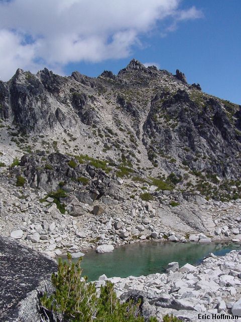
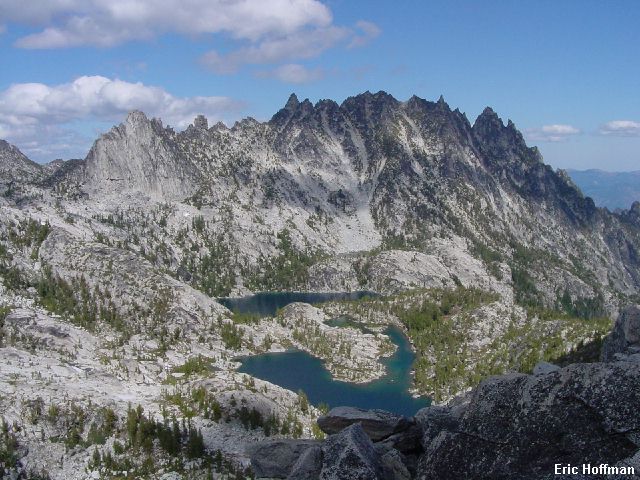
At roughly 7000' the gully splits. I kept left and reached Fantasia Saddle (c.7600') where I got my first look at the summit in a long time. A short class 3 descent then talus led to Fantasia Pond. From here, I traversed the basin and climbed easily to the summit block. I climbed the block on the west (class 3-4) but there is an easy class 2 route on the east side.
|
McClellan Peak from Fantasia Pond |
|
|
|
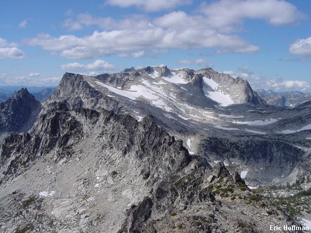
The Flagpole Needles to Aasgard Pass from McClellan Peak |
|
|
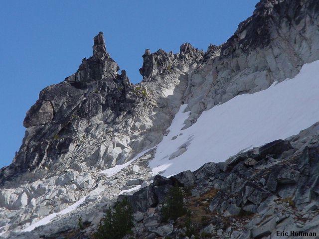
After eating a late lunch on the summit and enjoying a great view of the upper and lower Enchantment Basins and Snow Lakes Basin, I went in search of the route on the north side that is supposed to be the easiest way. I located the "Prong" and started down on the west side of the spur leading to it. After a short descent on class 3 rock at the top of the gully, I reached hard snow and ice. Keeping on the rocks I continued down along the edge until It was only a couple of steps across to Talus. I cut two steps to get across, then traversed on Talus to the divide between Crystal Lake and Leprechaun Lake and followed it to the lakes.
|
The descent route on the north side of McClellan |
|
|
|
Mount Temple and the lower Enchantment Basin from the descent route |
|
|
From Crystal Lake I descended along the creek on talus to reach a dried up lake. Below there, there where house sized block and more talus. I finally located a faint path on a spur in the middle of the broadening gully. This quickly reached the last 300-400 feet above the Ingalls Creek Trail where the path disappeared in a maze of game trails that I took downward to reach the trail...7 plus miles from the trailhead.
References:
Cascade Alpine Guide, Volume 1, 2nd Edition; Fred Beckey; Pages 223, 242, 243