The Methow Valley at sunset from Hoodoo Peak
This was my first trip to the Chelan-Sawtooth Wilderness Area. I was accompanied by Tom Sjolseth, who is working on the Top 100 list. Two peaks on the list are Hoodoo Peak (8464') and Libby Mountain (8580'), the unofficial name for the peak SW of Libby Lake. These would be the climbing objectives of the trip. The peaks in the area seem to have easy but tedious talus slopes on their south sides but steeper north faces. Our camp was at the pass north of Libby and south of Hoodoo.
The drive was perhaps the worst part of the trip. Fog and ice patches resulted in a five hour drive to the Libby Creek Trailhead. To get there we took highway 2 to Wenatchee, then 97ALT to Chelan to Peshastin where we turned onto Highway 153. About 10 miles south of Twisp we turned and followed Libby Creek Road then numerous spur roads to the Libby Creek Trailhead (c.4400'). We were finally above the fog of the Methow Valley.
We left the trailhead around 11:30am and began hiking the Libby Creek Trail. An easy hike first through semi-open, snow free slopes. At about two miles we hit snow. It wasn't deep snow but a breakable crust slowed progress. At about five miles we left the trail to hike around a marshy looking area then up talus slopes to the pass between Hoodoo Peak and Libby Mountain. We set up camp at the pass (just north of point 8071'). There were no established bivy sites so we dug platforms in small snow patches.
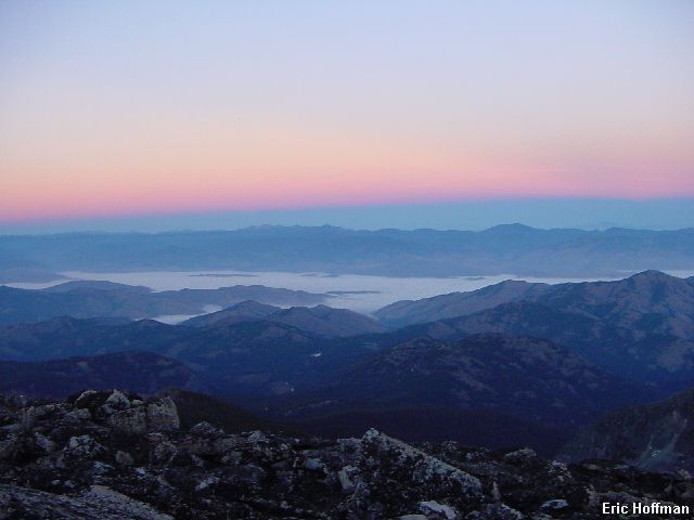
Around 4:00pm, we headed up the south ridge of Hoodoo Peak. Hoodoo is anything but an attractive peak when viewed from the south. Like many of the peaks in the area, the south is a pile of rocks while the north side is considerably steeper. The 400 foot ridge climb was mostly talus hopping with occasional scrambling on blocks (class 2). We arrived at the summit just before sunset. There was a summit register but no pen or pencil. The last entry in the register was made by someone who was obviously opposed to the placement of registers on summits...hmmm...it is odd that they signed it. There were nice views, particularly since the sun was now setting, but the area just doesn't have the appeal of the rugged and glaciated mountains visible on the west side of the range.
|
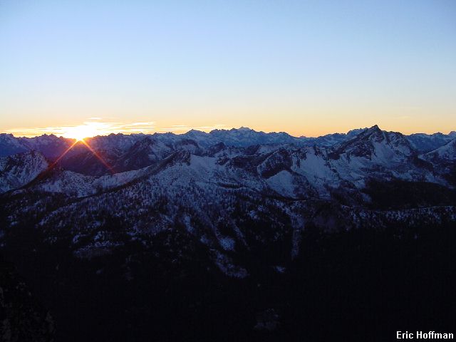
The Methow Valley at sunset from Hoodoo Peak |
|
|
|
Sunset from Hoodoo Peak |
|
|
|
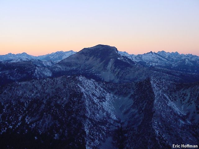
Tom preparing to take a photo of beautiful Oval Peak (Libby Mountain in the background) |
|
|
|
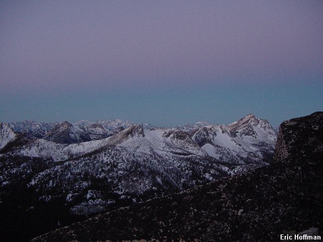
Oval Peak from Hoodoo Peak |
|
|
We headed back to camp and settled in for was we expected to be a cold night at 8000 feet in the Okanogan National Forest, but the temperature never got as cold as expected on a long, clear night. We awoke fairly early and took some sunrise photos before starting up the North Ridge of Libby Mountain.
|
The view to the east before sunrise |
|
|
|
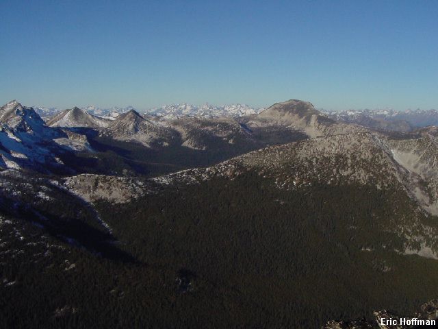
The view to the west at sunrise |
|
|
We started up the ridge toward Libby, trying to stay on the crest. Snow on exposed slabs forced us to traverse below the crest on the west side where there were slabs and talus. We returned to the ridge crest a short distance from the summit. Talus hiking reached the summit which appears to have no register. There is an east peak that appears higher but is actually 8 feet lower (8572'). We spent a fair amount of time on the summit absorbing the warm morning sun.
|
The view to the west from Libby Mountain |
|
|
|
Libby Lake from below the summit of Libby Mountain (Highest Lake in the state?) |
|
|
We started down the ridge crest then descended a talus gully to the west. After descending about 200 feet we began traversing north towards camp. After crossing several ribs and gullies, we arrived back at camp. There is much room for variation on this route to Libby Mountain, expect some class 3. Travel on the ridge crest is the most enjoyable (possibly class 4).
After packing up camp, we started a long descending traverse to Libby Lake then tried to follow the trail from there. The trail was difficult to locate due to snow. Part of our motivation was to try to find a shelter that had been described in an entry in the Hoodoo Peak summit register. When we found the shelter we realized we had made the better choice by camping at the pass. The shelter is a typical deteriorated NFS shelter complete with a dirt floor, trees growing out of the roof and presumably rodents.
References:
Cascade Alpine Guide, Volume 3, 2nd Edition; Fred Beckey; Page 276
100 Hikes in Washington's North Cascades National Park Region, Third Edition;
Spring and Manning; Pages 162-163