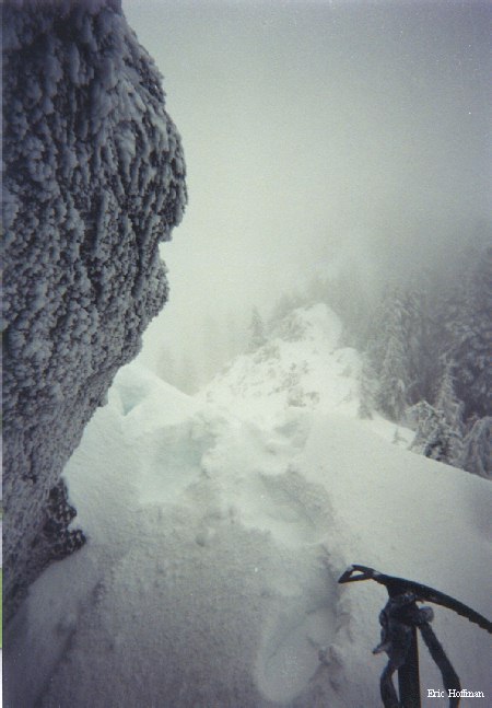
| 5000' on Defiance Ridge |
 |
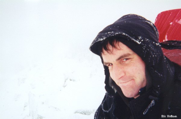
Self Portrait on Point 5335' |
 |
Defiance Ridge is a 4 mile long ridge extending west from 5584' Mount Defiance to Mailbox Peak. Point 5335', located 1.3 miles west of Mount Defiance, is the second highest point on Defiance Ridge. West of this high point, the ridge drops to a 4000' pass near Granite Lakes and a spur rises from the south merging with the ridge just east of the pass.
Not terribly surprising, a "trail" leads from Dirty Harry's Logging Road to the crest of the ridge. Not unlike a trail that reaches ridge further east, it is likely that the same mystery trail builder has been hard at work cutting branches and logs, and marking this route with miles of flagging. The "trail" ascends in a most direct fashion...I like his/her style.
The journey begins at an abandon road dubbed Dirty Harry's Logging Road. Dirty Harry's Logging Road is accessed at about one half mile from the gate on the Fire Training Center Road (I-90, Exit 38). Follow the road to a bend with a small gravel pit at approximately 2800' and locate the trail leading steeply to the right (no flags here). The trail continues steeply as is climbs the spur and eventually reaches the crest of the ridge. Once on the ridge crest, travel is easy until about 4800', where the ridge narrows and becomes rocky. The next 300 to 400 feet involve class 2-3 scrambling (generally easier on the crest than traversing), then a short walk up the ridge leads to the summit.
| 5000' on Defiance Ridge |
|
Self Portrait on Point 5335' |
|
References: Hiking the Mountain to Sound Greenway, Manning/Spring; pages 128,136-140.